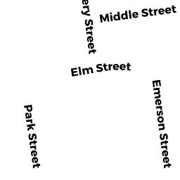
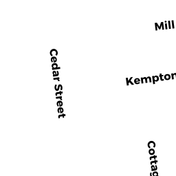
515 517 KEMPTON ST
Owner Information
CPH PROPERTIES LLC
P O BOX 1004
E FREETOWN, MA 02717


Property Details
515 517 KEMPTON ST is classified as a Mixed Use (Primarily Residential, some Commercial) (Mixed use).
The primary structure on this property was built in 1910. There are 2,788ft2 of built area within this property. There is 2,788ft2 of residential/living space within this property. This property is listed as having 9 rooms. There are 2 units within this property.
515 517 KEMPTON ST is valued at $160,700. The land is valued at $59,200 and the structures are valued at $101,500.
This property is in Zone MUB. Confirm with local Zoning Board authorities to ensure there are no overlays or other easements on this property.
The most recent deed for 515 517 KEMPTON ST is recorded at the local registrar in Book 11577, Page 219. 515 517 KEMPTON ST was last sold on Wednesday, January 6, 2016 for $170,000.
Assessment data from fiscal year 2021.
Flood Data
According to the FEMA National Flood Hazard Layer, this property does not appear to be in a flood zone. It may also be in an area not yet reviewed. Nonetheless, confirm this information prior to taking any action.
To view the flood hazards around this property, create a FEMA "Firmette" Map of the area around 515 517 KEMPTON ST.
Broadband Internet Providers
| Provider | Type | Bandwidth (mbps) | |
|---|---|---|---|
| GCI Communication Corp. | Satellite | 0 | 0 |
| Viasat Inc | Satellite | 35 | 3 |
| Verizon New England Inc. | DSL | 10 | 1 |
| Comcast | Cable | 1000 | 35 |
| VSAT Systems, LLC. | Satellite | 2 | 1 |
| HughesNet | Satellite | 25 | 3 |
| T-Mobile | Fixed Wireless | 25 | 3 |
Broadband service provider data from December 2020.